 SWRainAlert
Georgia
0.50″ in 24 hours under GAR100001, plus a routine inspection every 7 days regardless of rain. GSWCC-numbered forms.
States & thresholds
There is no national number, and "it depends on your permit" isn't an answer your super can act on at 6am. Each state's construction general permit sets its own trigger, its own measurement window and its own response time — and permits expire. Below is what we ship, what it comes from, and exactly how far we have verified it.
| State | Trigger | Window | Respond within | Permit | Status |
|---|---|---|---|---|---|
| Georgia | 0.50″ | 24 h | 24 h | GAR100001 (eff. 2023-08-01, exp. 2028-07-31) | Verified |
| Texas | 0.50″ | 24 h | 24 h | TXR150000 (eff. 2023-03-05) | Verified |
| Florida | 0.50″ | 24 h | 24 h | FDEP Generic Permit, 62-621.300(4)(a) | Verified |
| North Carolina | 1.00″ | 24 h | 24 h, business hours | NCG010000 (eff. 2024-04-01, exp. 2029-03-31) | Verified |
| Tennessee | 0.50″ (>50-acre sites) | 24 h | 24 h | TNR100000 — expires 2026-09-30 | Verified |
| South Carolina | 0.50″ (rain log) | 24 h | Weekly report | SCR100000 | Partial |
| Alabama | 0.75″ | 24 h | Disputed — 24 h or 72 h | ADEM CGP (scanned image PDF) | Not verified |
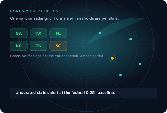
| Every other state we cover | 0.25″ | 24 h | 24 h | Federal EPA CGP baseline | Baseline |
Read this before you rely on the table. These are the defaults we ship, not legal advice, and your individual permit or a Sensitive Waters designation can be stricter. Verify against your own permit. Where we have not confirmed a figure against the primary text — Alabama's response window in particular — we label it rather than presenting it as settled. Every threshold is editable per site.
The data behind the number
MRMS is NSSL's Multi-Radar Multi-Sensor product: the full WSR-88D network mosaicked onto a 0.01° grid — roughly one kilometre — and corrected against automated gauge reports. It updates in minutes, and it is what moves your site off DRY. We pull one CONUS grid per cycle and sample every registered site out of it, so monitoring a hundred sites costs the same bandwidth as monitoring one.
Stage IV is the slower, sturdier record: NCEP's multi-sensor analysis on the 4 km HRAP polar-stereographic grid, manually quality-controlled by the River Forecast Centers. We reproject it and take the cell your coordinates actually fall in — nearest-cell, not an interpolation across neighbours that would smear a convective cell into the fields around it.
State guides
0.50″ in 24 hours under GAR100001, plus a routine inspection every 7 days regardless of rain. GSWCC-numbered forms.
0.50″ is a rain-log event, not a mandated post-storm inspection. We say so plainly — and give you the log.
0.50″ in 24 hours under TXR150000, which explicitly endorses the rolling 24-hour model we use.
Further reading
A threshold on its own does not tell you how it is measured, what your permit calls the event, or what the record has to carry afterwards.
Permit thresholds
Why the EPA baseline and your state permit disagree, and how to find the figure that actually applies.
How measurement works
A storm split at midnight becomes two sub-threshold totals from one qualifying event.
Permit language
Measurable storm event, significant rainfall event — the same storm, two different obligations.
Thirty days of Complete, no card. Thresholds are set from the site's state automatically, and editable when your permit differs.